
Southeast Trail
Signs have been erected along the Southeast Trail from the rear of the Clinton Presidential Park to the Terry Park. Follow the Arkansas River Trail east along the river below the Clinton Library to follow the newly marked Southeast Trail. From there you begin the flat 13 mile ride to the park at David D.Terry Dam. Credit for this effort goes primarily to Rob Stephens of the ART Task Force. Rob has worked to gain the support of area businesses and other entities, including the Clinton National Airport, Dassault Falcon, and the Port of Little Rock, among others.

Since my ride last Sunday, wayfinding signs have been erected and bike racks have been installed at the
Clinton National Airport.

Airport/Temple Street Sign

This sign is near the Terry Dam

The Clinton National Airport welcomes cyclists with high speed WiFi, a Starbucks location, restrooms and a fountain with a bottle fill feature. The restrooms and fountain are under the escalator on the entry level.
Burns Park Isabella Jo Trail
The Arkansas River Trail on north side of the river suffered from the recent minor flooding, even as efforts were still underway to clean up from the larger previous flood. Though the logs, navigation buoys, dead carp, and much of the sediment had been cleared from the most recently flooded area, a hard pack of dried mud remained. The folks at NLR Parks have had their hands full the last couple of months, but Jeff Caplinger and ranger Ian Hope report that the trail is near ready to ride.

Almost cleared and ready for action.
On the subject of Pfeifer Loop, Jeff says, "We are also keeping an eye on the Pfeifer Loop
Trail for it to dry out enough to hold a work day to get the debris and trash
removed.
Pfeifer Loop as seen from the paved trail is virtually surrounded by a wall of large logs, driftwood, and trash. I'm curious to see how the interior has fared. I'm sure that it is a mess.
E-cort Service
( I did not want to use the words 'escort' in conjunction with the word 'service" above because the last time I did so in reference to LR Marathon support duty, the article got spammed by hookers, Indian "models", Russian bride services, etc, for a couple of years.)
I ran into George Rhode and a group of riders on Thursday preparing to set out on a training ride for the upcoming CARVE sponsored BDB training rides. Yes, the preceding makes sense. Read it again if you need to.
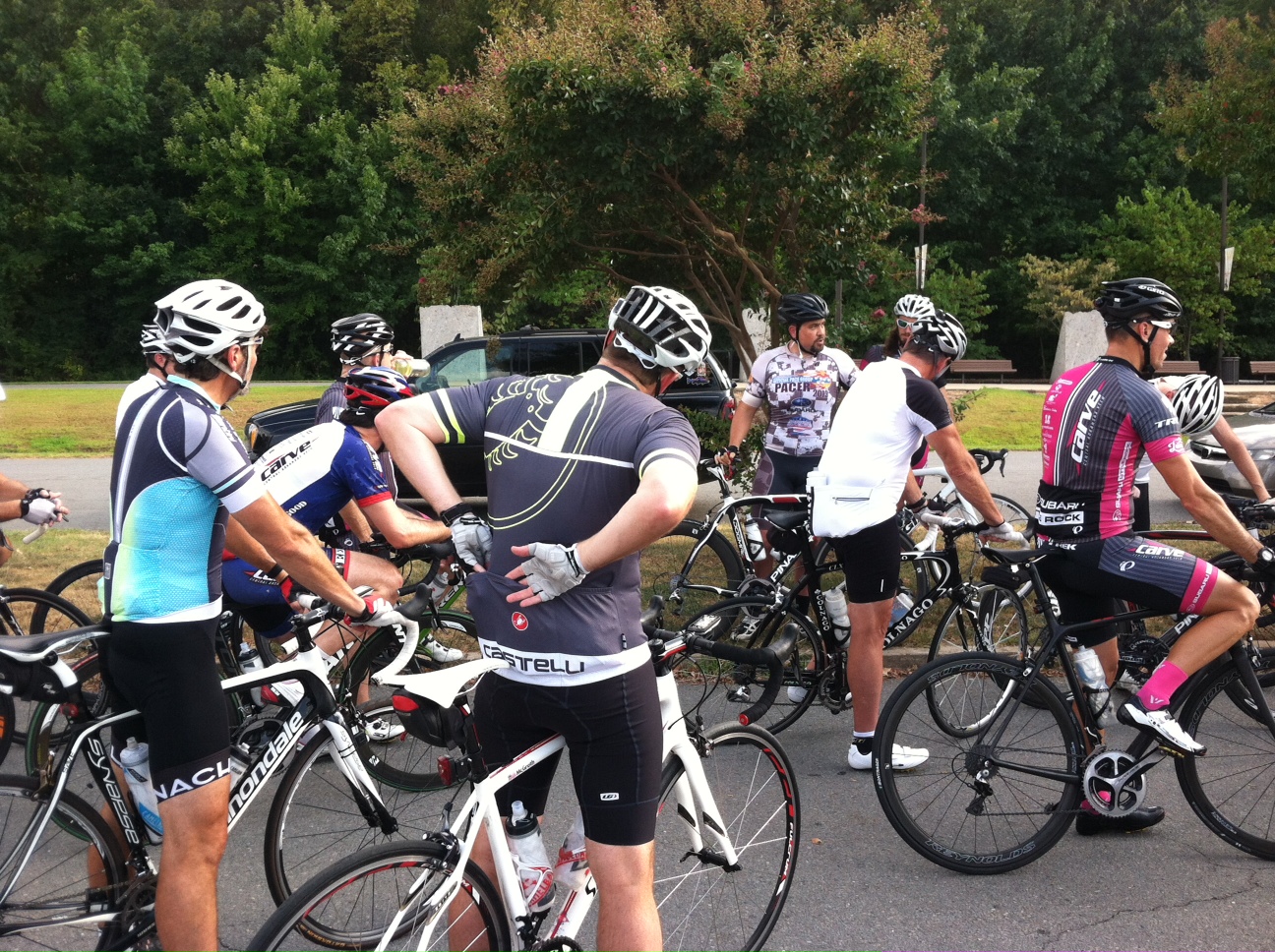
Preparing to pace a five-hour BDB 100. George Rhode outlining the plan for a training ride.
Many recreational riders aspire to ride a five-hour century. CARVE and the Big Dam Bridge Foundation are teaming to help riders succeed in that ambition by providing pace riders and domestique support for the upcoming Big Dam Bridge 100. This is a fund raiser, so there is a fee, and you still have to ride your bike 100 miles in five hours. That said, it is much easier to do so in a protected group where you do not feel obligated to pull, have rolling support, and you know that the people around you are committed to the shared goal. Training rides will be taking place over the next few weeks, and my understanding is that those rides are open to all.
Now, go ride your bike, and take care. it's hot out there.
Now, go ride your bike, and take care. it's hot out there.


2 comments:
Where can folks find maps for the "southeast trail" from the airport to clinton library? Nothing is listed on http://arkansasrivertrail.org/maps/ So is it not part of this system?
Thanks in advance.
My wife and I biked a portion of the Southeast trail this past weekend. We stopped at 440 as it was not clear as to where it would end and the type of streets we were going to be traveling on from that point forward. Unfortunately Little Rock (or is it Metroplan) is fond of using the term "trail" when they are actually describing bike routes. From dictionary.com trail (noun) is defined as "a path or track made across a wild region, over rough country, or the like, by the passage of people or animals." This trail, and the Little Rock side of the Arkansas River Trail, really qualify as bike routes. Most of these routes are on city streets and should be named as such. That being said, the streets on a Sunday morning were little traveled and made for a enjoyable ride, that is until we got back into the city and tried to follow the multiple detours on the Little Rock side of the Arkansas River Trail.
Post a Comment